Georgetown Lake
A map of Georgetown Lake! Georgetown Lake was created in 1885 by damming the North Fork of Flint Creek. It lies just west of the Anaconda Range in Montana and is at around 6,400 feet in elevation!
See below for descriptions on our three signature styles.
Prints are shown framed for display purposes only.
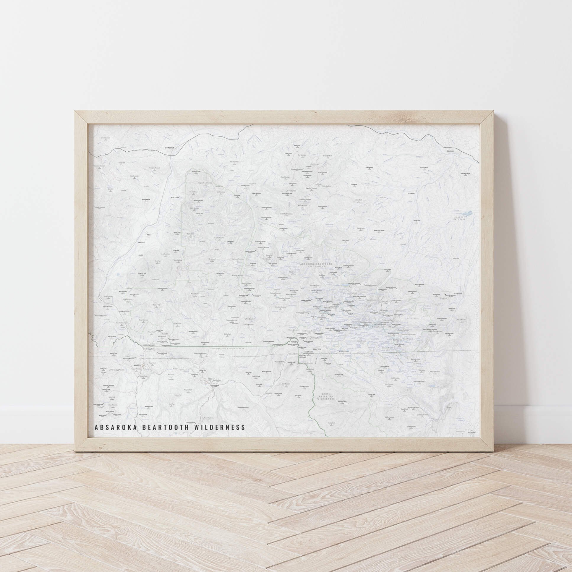
Georgetown Lake Map!
We have three signature styles of map depending on what you’re looking for:
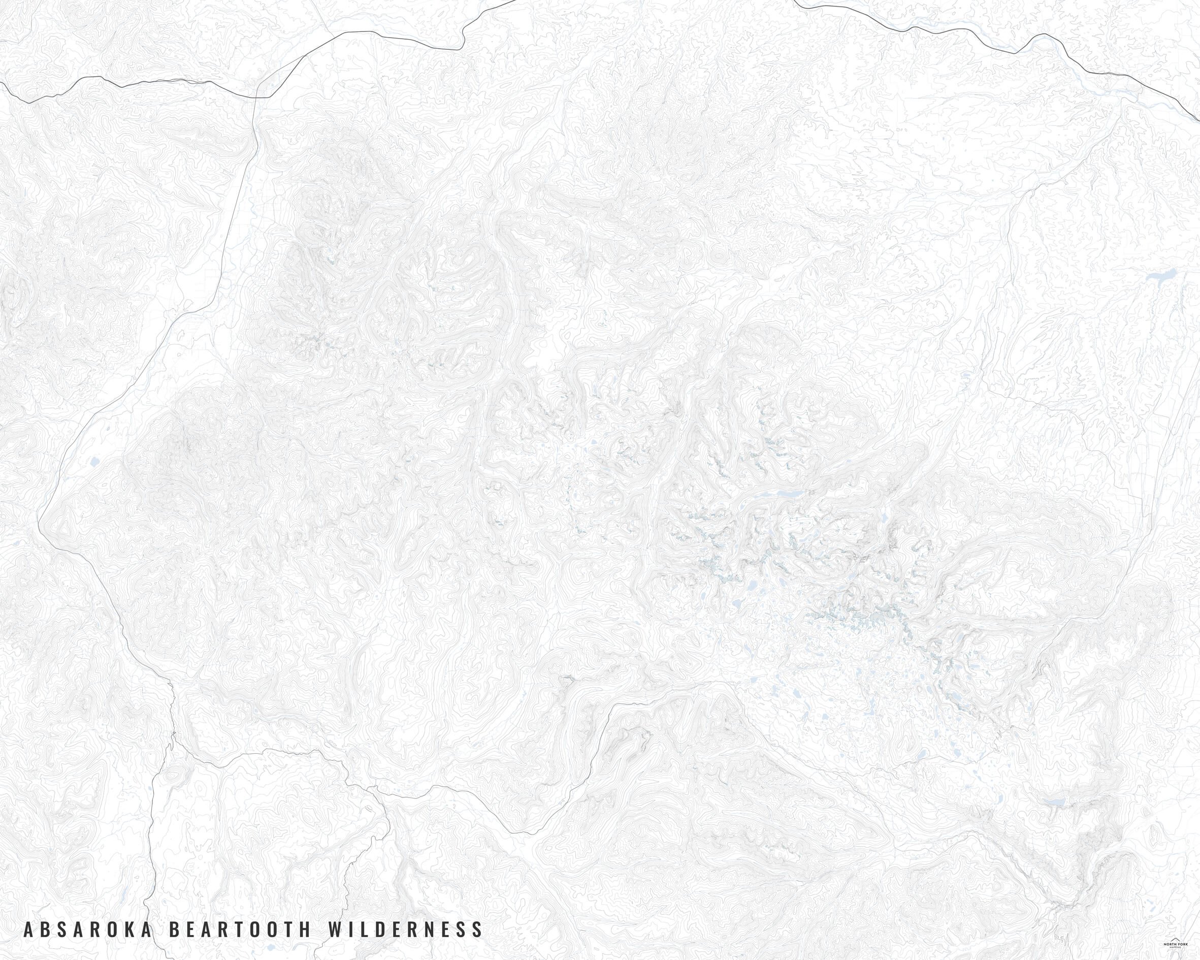
“Minimalist” - This map has the title as well as hydrology and contour lines. Clean, simple, elegant. More of an “art” look than a “map” look.
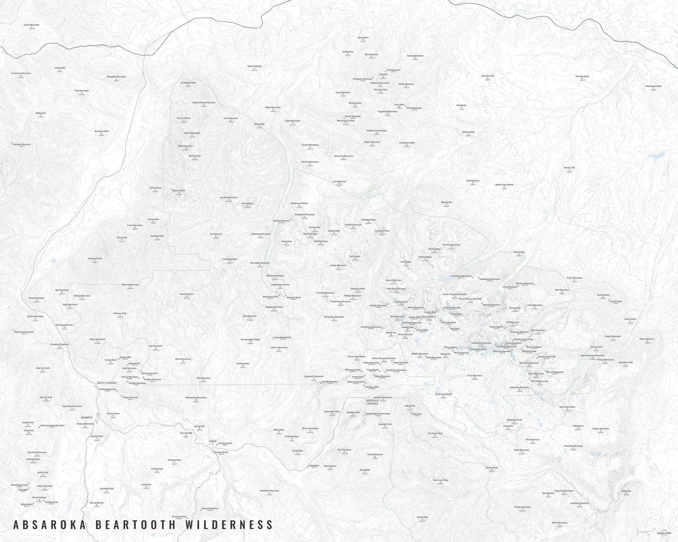
“Just The Basics” - Adding onto the minimalist style with a road network for reference, mountain summit points, and a scale bar. A basic map.
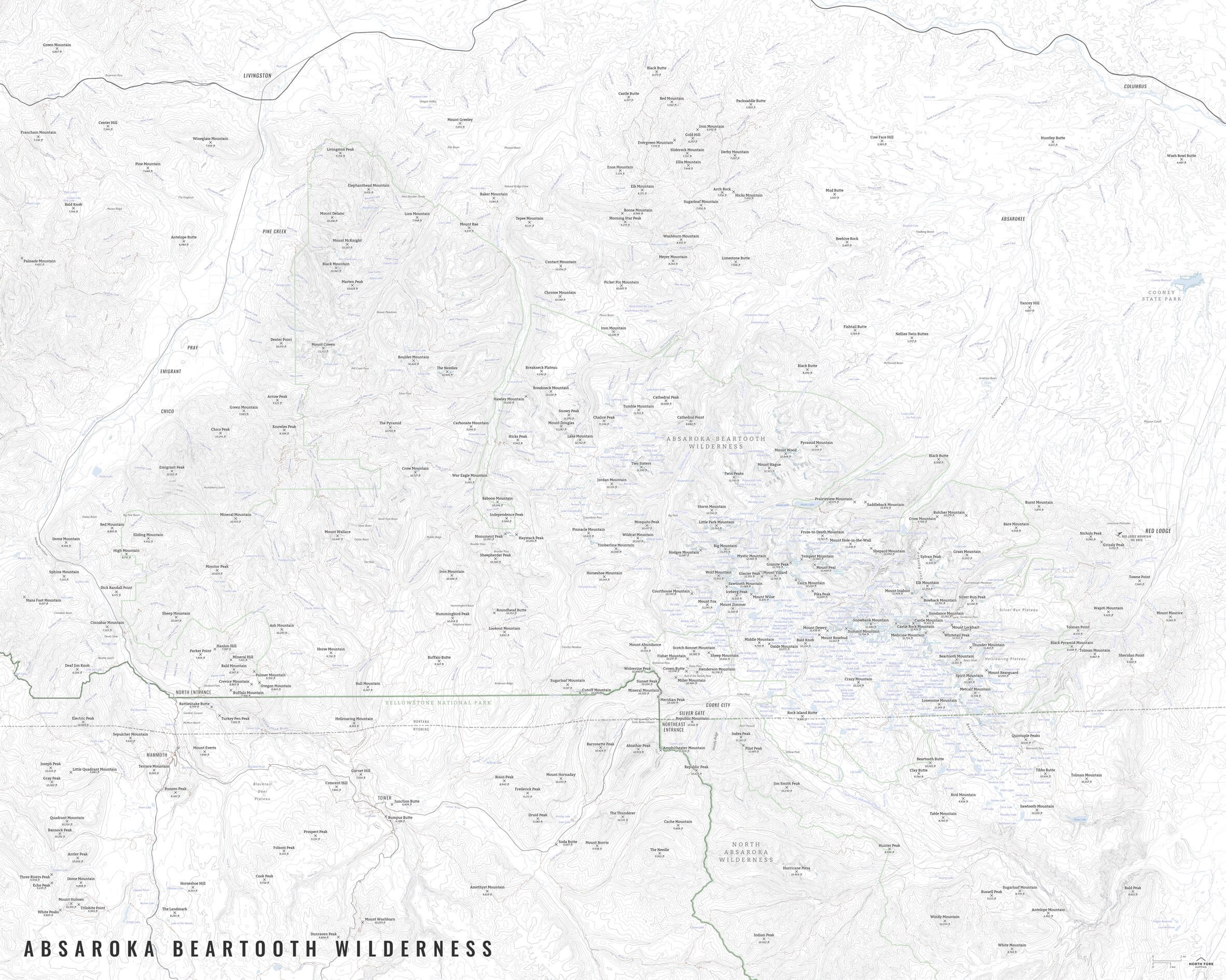
“All The Things” - Just as it sounds. The mappiest of them all. Adds in trails, lake labels, stream labels, town labels, and common place name labels.