Appalachian Trail

from $34.00

From Springer Mountain in Georgia to Mount Katahdin in Maine, this map covers the entire length of the Appalachian Trail. Available in three styles although even the “mappiest” is minimalistic to let the landform and the trail itself truly pop.

The Appalachian Trail was completed in 1937 and passes through 14 states. It spans 2,194 miles and is managed by the Appalachian Trail Conservancy and the National Park Service with the help of several other public agencies.

See below for descriptions on our three signature styles.

Prints are shown framed for display purposes only.

Size:
Style:
Quantity:
Add Appalachian Trail Map to Cart

From Springer Mountain in Georgia to Mount Katahdin in Maine, this map covers the entire length of the Appalachian Trail. Available in three styles although even the “mappiest” is minimalistic to let the landform and the trail itself truly pop.

The Appalachian Trail was completed in 1937 and passes through 14 states. It spans 2,194 miles and is managed by the Appalachian Trail Conservancy and the National Park Service with the help of several other public agencies.

See below for descriptions on our three signature styles.

Prints are shown framed for display purposes only.

Appalachian Trail Map!

We have three signature styles of map depending on what you’re looking for:

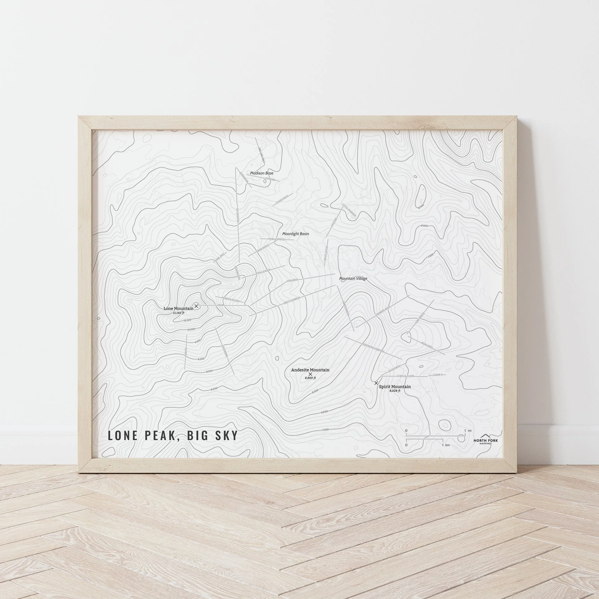
“Minimalist” - Title and, of course, the Appalachian Trail. Clean, simple, elegant. More of an “art” look than a “map” look (although it is spatially accurate).

“Just The Basics” - Adding onto the minimalist style with a hillshade underneath to give the feel of the topography, major lakes, and the ocean. A basic map.

“All The Things” - Just as it sounds. The mappiest of them all. Adds in the state boundaries and labels as well as the surrounding states masked so that they’re still there, but don’t pop as much as the states that the Appalachian Trail runs through.

The Missions
from $34.00
Arches National Park
from $34.00
Greeting Cards
from $6.00
Lake Tahoe Map
from $34.00
Lionhead - Henrys Lake Range
from $34.00