Tobacco Roots
A map of the Tobacco Roots! From the Jefferson and Madison Rivers to Hollowtop Peak, we’ve got you covered with this map.
See below for descriptions on our three signature styles.
Framing shown for display purposes only.
A map of the Tobacco Roots! From the Jefferson and Madison Rivers to Hollowtop Peak, we’ve got you covered with this map.
See below for descriptions on our three signature styles.
Framing shown for display purposes only.
A map of the Tobacco Roots! From the Jefferson and Madison Rivers to Hollowtop Peak, we’ve got you covered with this map.
See below for descriptions on our three signature styles.
Framing shown for display purposes only.
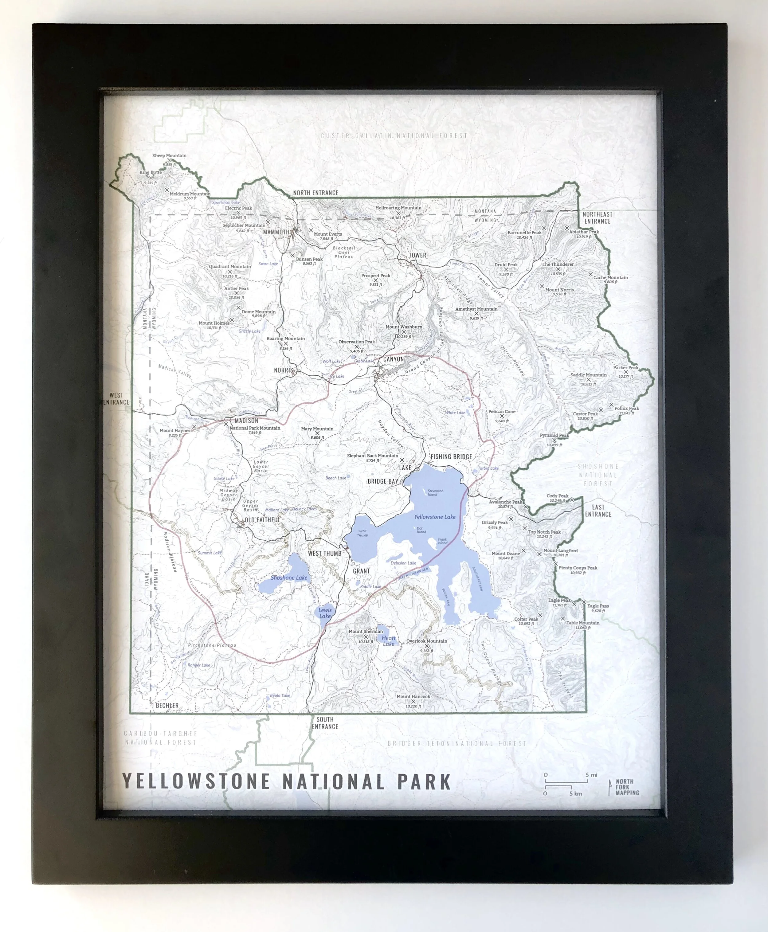
Map of the Tobacco Roots!
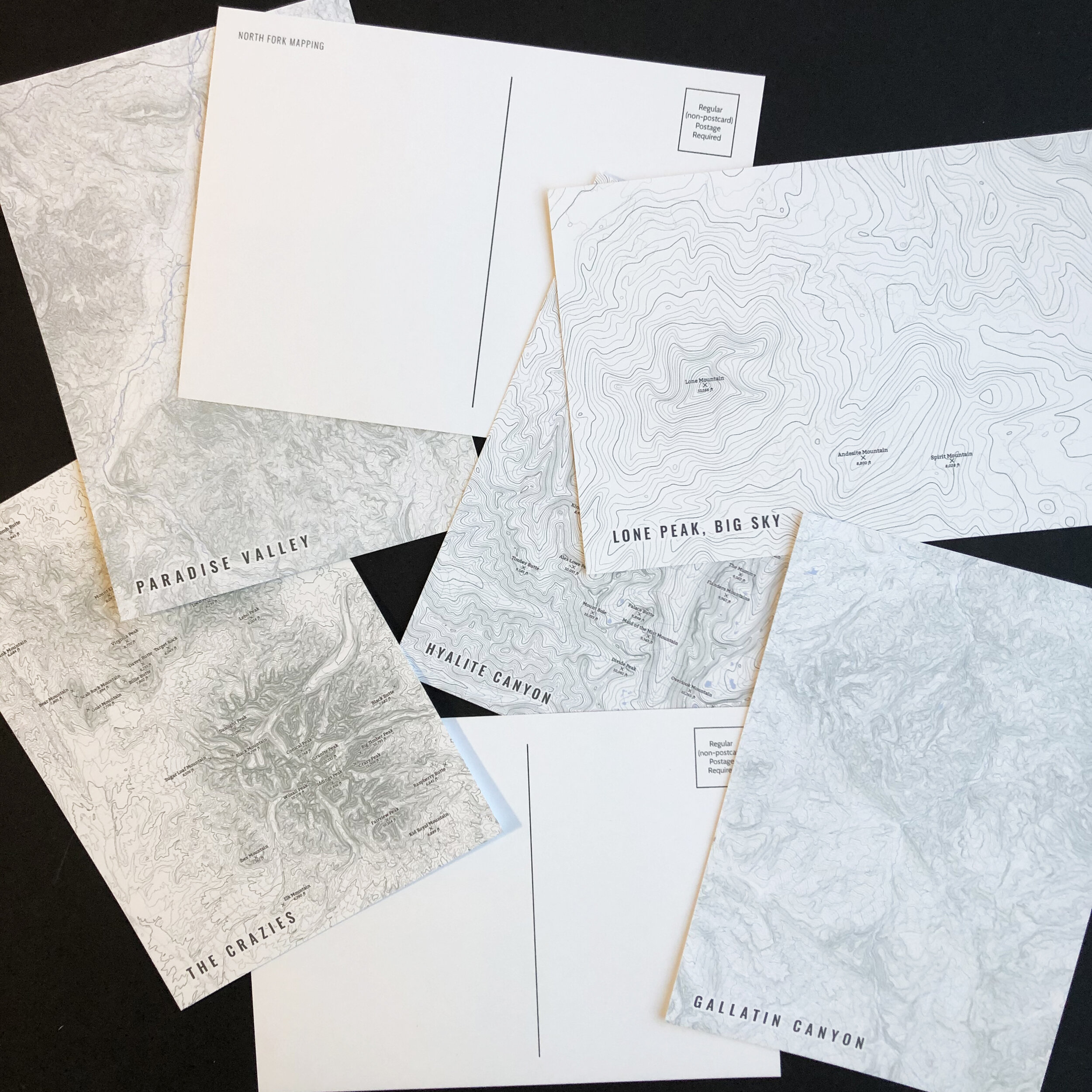
We have three signature styles of map depending on what you’re looking for:
“Minimalist” - This map has the title and topo lines as well as hydrology and a faint road network for reference. Clean, simple, elegant. More of an “art” look than a “map” look.
“Just The Basics” - Adding onto the minimalist style with mountain summits. A basic map.
“All The Things” - Just as it sounds. The mappiest of them all. Adds in town names, trails, common place names, contour labels, Lewis and Clark Caverns State Park, fishing access labels, stream and lake labels.