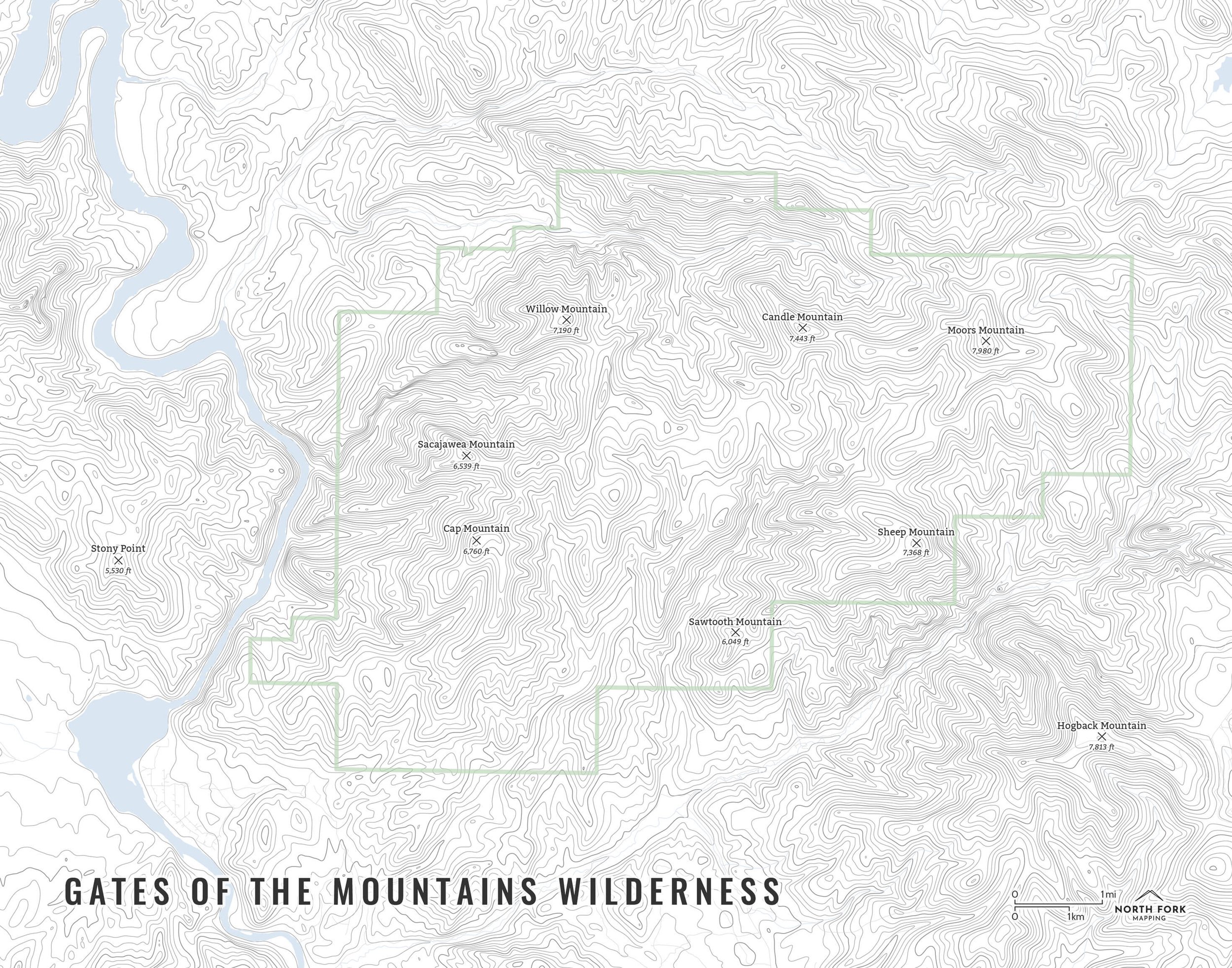

Gates of the Mountains Wilderness
A map of the Gates of the Mountains Wilderness! This map covers the entire Gates of the Mountains area managed by the Helena National Forest. Lewis and Clark went through the area in 1805 with Lewis calling it “the gates of the rocky mountains.” The area has been considered for inclusion in the National Park system several times.
Gates of the Mountains includes the site of the Mann Gulch fire which claimed the lives of 12 smokejumpers and one district foreman (and former jumper) in 1949. 15% of proceeds from this map will go to the Wildland Firefighter Foundation.
See below for descriptions on our three signature styles.
Prints are shown framed for display purposes only.
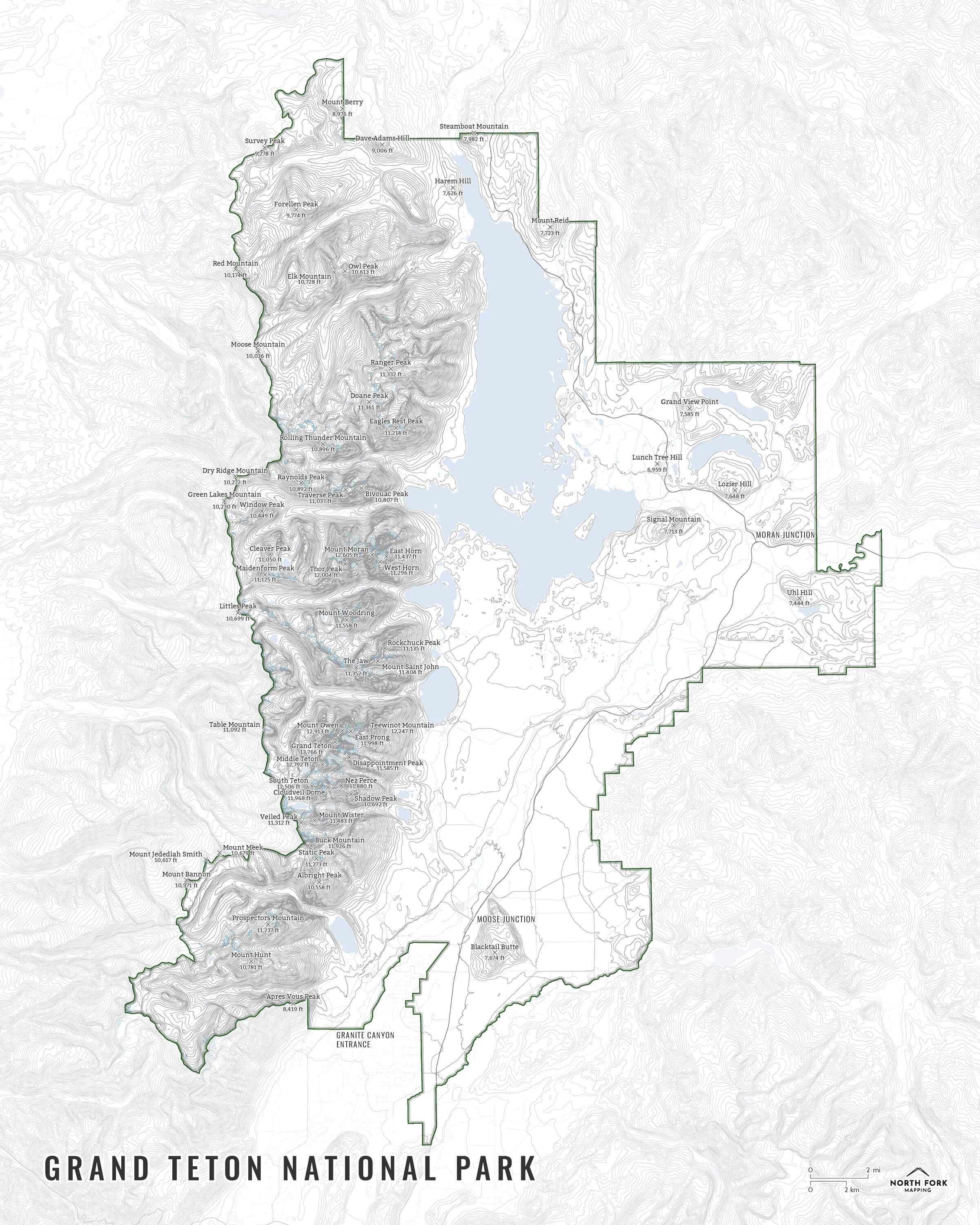
Map of the Gates of the Mountains Wilderness!
We have three signature styles of map depending on what you’re looking for:
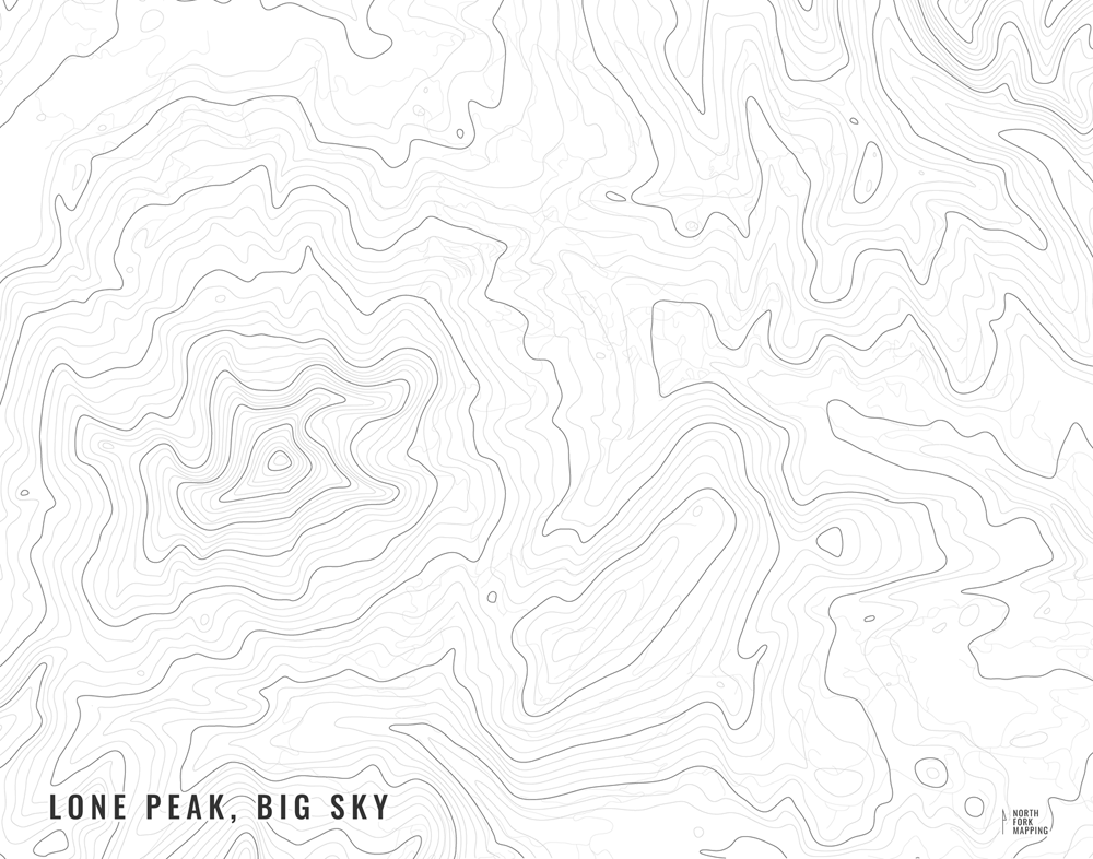
“Minimalist” - This map has the title and topo lines as well as hydrology, the boundary for the Gates of the Mountains wilderness area, and a faint road network for reference. Clean, simple, elegant. More of an “art” look than a “map” look.
“Just The Basics” - Adding onto the minimalist style with mountain summits, the Gates of the Mountains wilderness boundary, and a scale bar. A basic map.
“All The Things” - Just as it sounds. The mappiest of them all. Adds in town names, trails, common place names, contour labels, stream, and lake labels.